Hazard area Safe zone / welfare centre
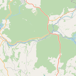
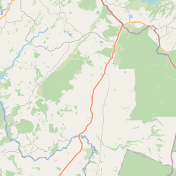
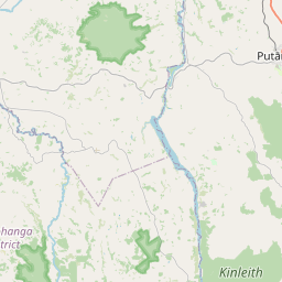
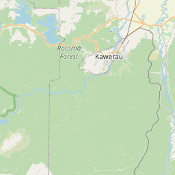
Leaflet © OpenStreetMap contributors
Hazard Areas
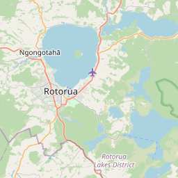
Lake Rotorua — flooding
Low-lying lake-edge areas prone to flooding during heavy rain.
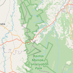
Mamaku — landslide
Steep terrain susceptible to landslides after prolonged rainfall.
Whakarewarewa — geothermal
Geothermal activity with ground instability and gas hazards.
Lake Rotoiti — seiche / tsunami
Lake seiche and potential tsunami from fault activity.
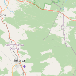
Reporoa — ash / lahar
Downstream catchment vulnerable to volcanic ash and lahar flow.
Safe Zones & Welfare Centres
Rotorua CBD — Civil Defence Centre
Designated civil defence welfare centre.
Ngongotahā Hall
Community assembly point.
Reporoa Community Centre
Welfare and assembly point.
Mamaku Community Hall
High-ground assembly point.